 vesseltracker.com
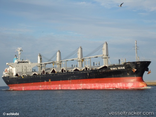
Vessel IRIE IRIS IMO: 9633290, MMSI: 538009756 Bulk Carrier
Live AIS position:
UTC. Open sea (no nearby ports in database)),
updated 2025-12-01 14:41:20 UTC.
Find the position of the vessel IRIE IRIS on the map. The latter are known coordinates and path.
marine traffic ship tracker show on live map
The current position of vessel IRIE IRIS is -60.98852 lat / -25.48403 lng. Updated: 2025-12-01 14:41:20 UTCCurrently sailing under the flag of Marshall Islands
IRIE IRIS built in 2012 year
Deadweight:
28250 tDetails:
Last coordinates of the vessel:
2025-12-01 14:41:20 UTC, -60.98852, -25.48403, course: 19, speed: 96